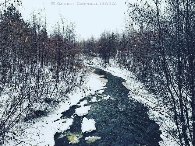
Over the last week, a series of snow events have accumulated low-density snowpack in most areas throughout the area and as winds change to southwesterly, a warming will occur in southern parts of the Northeast Region. That will bring daytime temperatures above zero today and again early next week before daytime temperatures fall below zero again.
The forecasted above-zero temperatures today and early next week could cause unstable shoreline ice conditions and flooding in low-lying and poor drainage areas.
MNR North Bay District has issued a "Watershed Conditions Statement - Flood Outlook" which is in effect until noon tomorrow.
Residents and visitors should exercise caution around waterbodies and supervise children and pets closely.
Residents who have been affected by high water and flow conditions in the past should continue to take necessary action to protect/secure any vulnerable property in proximity to rivers and lakes to closely monitor developing conditions.
Flows and water levels throughout the district are at their optimal or seasonal lows for this time of year.
"If the forecast warming occurs, snow melt will occur, but the snowpack will ease the runoff produced. Lakes and rivers within the district have not had time to develop safe winter ice and with the warmer daytime temperatures today and early next week shoreline ice conditions are expected to be unstable. While widespread flooding is not expected over the next week, there is a chance of flooding occurring in low-lying areas and areas of poor drainage."
