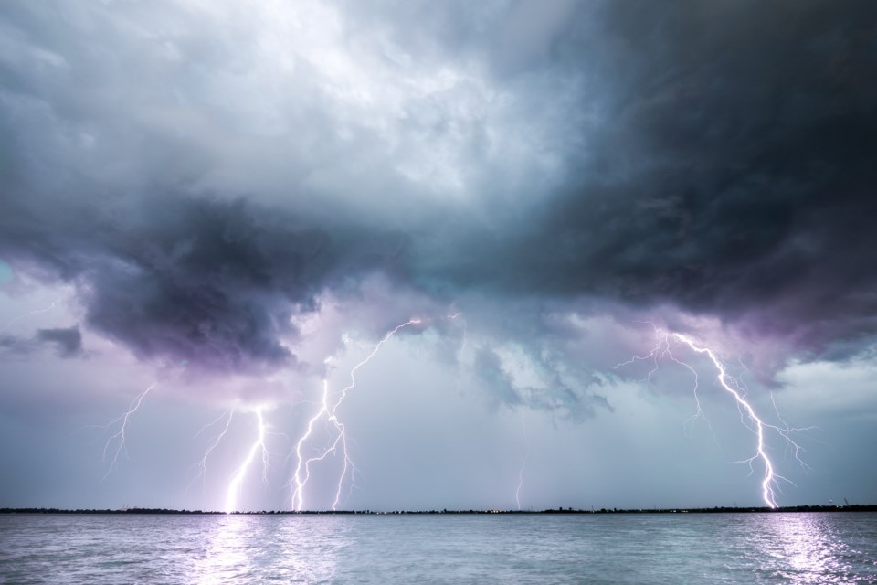
Environment Canada says conditions are favourable for the development of dangerous thunderstorms that may be capable of producing damaging wind gusts, large hail, and heavy rain, later today.
There is the risk of tornadoes, wind gusts up to 100 km/h, nickel-sized hail, and torrential downpours continuing into this evening.
Thunderstorms are expected to develop today and track east. These thunderstorms may be accompanied by wind gusts of 100 km/h. There is also a risk of tornadoes.
Heavy rain is also expected with these thunderstorms. Total local rainfall amounts of 50 to 75 mm with locally higher amounts possible. Rainfall rates of 30 to 40 mm per hour are possible.
A severe thunderstorm watch is issued for:
- North Bay - West Nipissing,
- Powassan - Mattawa
- Greater Sudbury and vicinity
- Temiskaming Shores - Temagami
- Burk's Falls - Bayfield Inlet,
- Deep River - Whitney - Eastern Algonquin Park,
Large hail can damage property and cause injury. Very strong wind gusts can damage buildings, down trees and blow large vehicles off the road. Remember, severe thunderstorms can produce tornadoes. Water-related activities may be unsafe due to violent and sudden gusts of wind over bodies of water.
Lightning kills and injures Canadians every year. Remember, when thunder roars, go indoors!
Emergency Management Ontario recommends that you take cover immediately if threatening weather approaches.