It's going to be a messy weekend with snow, rain and freezing rain all in the forecast.
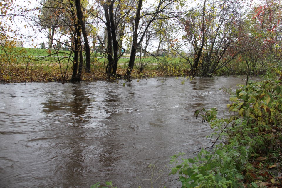
A "Flood Outlook" is in effect in the area until Monday
You should keep a close watch on conditions and exercise caution around rivers and streams.
The forecasted precipitation over the weekend could cause local flooding in low-lying areas.
A Colorado low-pressure system will move through the northeast corridor of the province Saturday and Sunday bringing snow, freezing rain/ice pellets, and rain to the North Bay District. Southern reaches of the district are expected to receive light snow or ice pellets on Saturday before changing to freezing rain later in the afternoon.
Freezing rain will change to rain early Sunday morning as temperatures rise above the freezing mark. 1-4cm of snow along with 5-10mm of ice pellets and 10-20mm of rain could fall by early Sunday morning. By Sunday afternoon precipitation will change to snow again, along with a risk of freezing rain.
Northern reaches of the district are expected to receive snow that will change to freezing rain Saturday night and continue into Sunday morning before transitioning back to snow Sunday afternoon.
Expect 25cm of snow along with 10mm of ice and ice pellets. \
Significant snowpack remains across the district and lakes are still frozen. Warmer weather and rainfall will see rivers and streams respond accordingly. Snowmelt and rainfall expected over the next two days could result in potential flooding in low-lying areas with a history of flooding.
A flood outlook is designed to give early notice of the potential for flooding based on weather forecasts calling for heavy rain, snow melt, high winds or other conditions.
A special weather statement is in effect.
Freezing rain is expected Saturday afternoon and night.
Light snow or ice pellets are possible Saturday before changing to freezing rain Saturday afternoon or evening. Freezing rain will change to rain early Sunday morning as temperatures rise above the freezing mark. Ice accretion of 5 to 10 mm is possible by early Sunday morning.
