The City of North Bay is celebrating GIS Day on Wednesday with the launch of a new online portal featuring maps and Geographic Information Systems (GIS) applications that will provide the public with easy access to various sources of data.
GIS Day is an international event that celebrates and promotes GIS technology and the opportunity for people to learn about geography and the real-world applications of GIS.
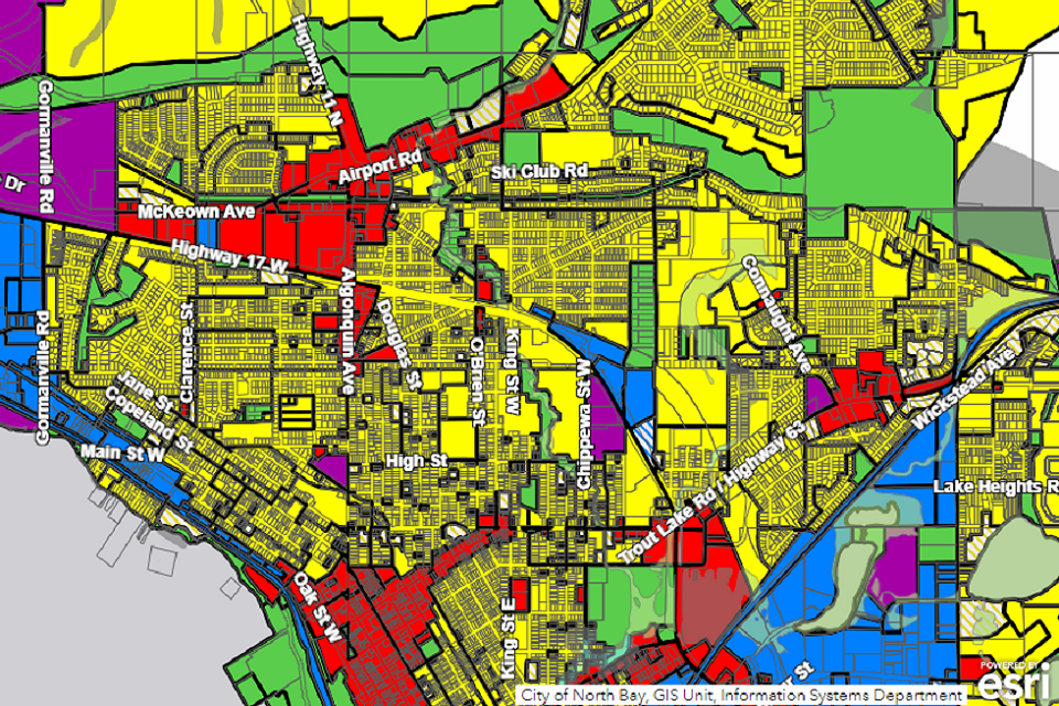
The City’s new GIS Portal — Explore North Bay — is a free online resource that features static Interactive maps for development, public art and transportation. Explore North Bay will be updated as the City’s GIS team develops new maps and applications.
One way to describe and visualize a GIS is by picturing it as a cake with many layers. Each layer of the cake represents a different geographic theme, such as water features, buildings, and roads, and each layer is stacked one on top of another. A GIS is a utility for managing, interpreting, and displaying data related to locations on the Earth's surface. This allows a better understanding of spatial relationships for both City of North Bay staff and citizens in various practices, ranging from transportation planning to municipal infrastructure.
To access the portal, click here.