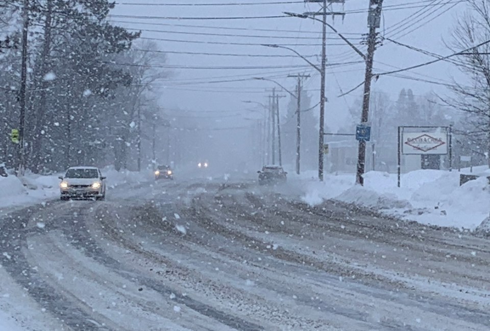
Another winter storm is expected to hit the area tonight into Saturday afternoon.
Heavy snow, with total snowfall accumulations of 15 to 30 cm is possible. Peak snowfall rates of 3 to 5 cm per hour is likely. The snow is forecast to begin this evening and will quickly become heavy at times tonight, before transitioning to periods of light snow Saturday morning.
Strong easterly winds gusting up to 70 km/h will combine with this heavy snow to cause significantly reduced visibility at times. In the wake of this system, much colder Arctic air will become established across the region.
A multi-day lake effect snow event is expected for locations east of the Great Lakes bringing additional snowfall accumulations to some communities.
Surfaces such as highways, roads, walkways and parking lots may become difficult to navigate due to accumulating snow. Visibility will be suddenly reduced to near zero at times in heavy snow and blowing snow. Consider postponing non-essential travel until conditions improve.
A winter storm warning is in effect for:
- North Bay - West Nipissing
- South River - Burk's Falls
- Sudbury
- Huntsville
- Parry Sound - Muskoka
- Temiskaming Shores - Temagami
- Témiscamingue


