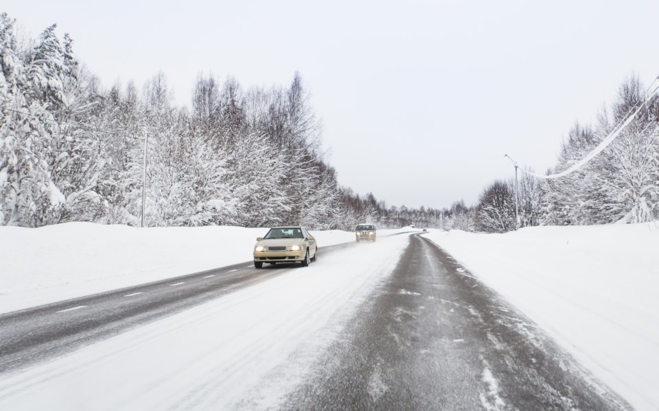
Take extra care if you are driving south in the next 18 hours or so., it's going to be sloppy and dangerous.
A winter weather travel advisory is in effect for tonight into Thursday morning in the Huntsville area.
Environment Canada expects total snowfall amounts of 5 to 10 cm, with the highest amounts over higher terrain and grassy surfaces. There will be reduced visibility at times.
Westerly winds and a cool air mass will allow for the development of lake effect snow bands off of Lake Huron and Georgian Bay. Precipitation is expected to switch over from rain to snow this evening, and then remain as snow overnight.
Precipitation will switch back over to a mix of rain and snow by Thursday afternoon. Accumulations on primary roads may be closer to the lower end of the snowfall range due to warmer road temperatures.
Motorists should expect hazardous winter driving conditions and adjust travel plans accordingly. Surfaces such as highways, roads, walkways and parking lots may become icy and slippery.
Snow squalls cause weather conditions to vary considerably. Changes from clear skies to heavy snow within just a few kilometres are common.
Prepare for quickly changing and deteriorating travel conditions. If visibility is reduced while driving, slow down, watch for tail lights ahead and be prepared to stop.