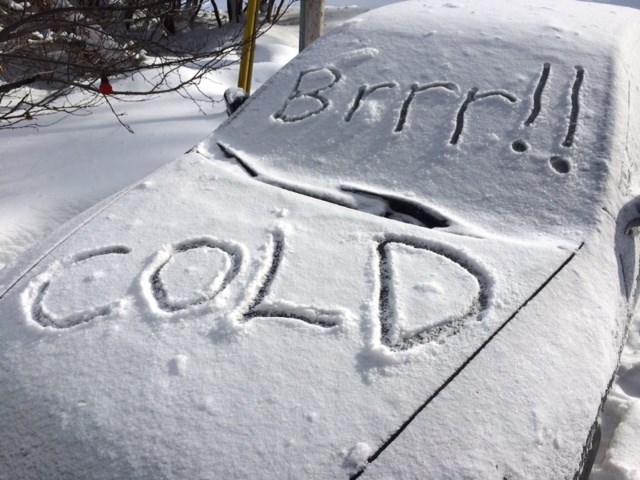
It's going to get very cold starting tomorrow night and we'll see wind chill values in the minus 45 range over the weekend.
The highs Saturday and Sunday will be around minus 21 and dip to around minus 30 overnight. Wind chills will dramatically affect those temps.
There is the risk of frostbite.
In fact, an extreme cold warning in effect for:
- Témiscaming area
- Ville-Marie area
The wind chill will reach values between minus 38 and minus 49 overnight Friday night. This cold snap could persist into Monday over several areas.
Cover up. Frostbite can develop within minutes on exposed skin, especially with wind chill.
Extreme cold warnings are issued when very cold temperatures or wind chill creates an elevated risk to health such as frostbite and hypothermia.
We won't be setting any records, however. In 1997 the overnight low dipped to minus 35.