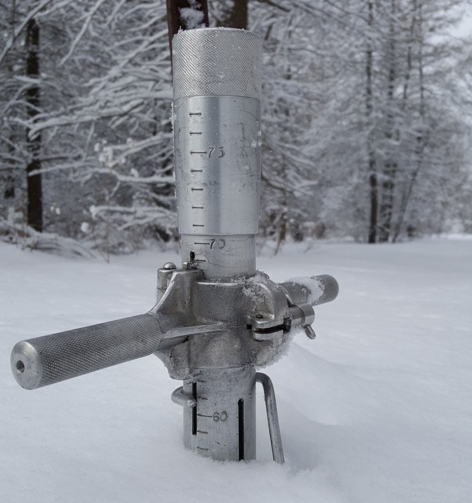
Snow depth is normal for this time of the year at the three snow survey sites measured by the North Bay-Mattawa Conservation Authority as part of its flood forecasting program.
“The snow depth has decreased about 20% since the last snow survey two weeks ago and the equivalent water content has dropped over 40%. A slow melt and reduction of water content means we’ll have less runoff from snow. We’ll continue monitoring the five-day forecast and current conditions to assess the impact of any rainfall on the melt and potential for flooding,” said Sue Buckle, Supervisor of Communications and Outreach.
North Bay Golf and Country Club (Chippewa Creek Watershed, North Bay)
|
Current Average Snow Depth for March 2, 2017 |
53.0 cm (106% of normal) |
|
Current Average Water Equivalence for February 2, 2017 |
7.9 cm (62% of normal) |
|
Average Snow Depth for March 2, 2016 |
75.1 cm |
|
Highest recorded snow depth for March 2 since 2012* |
68.0 cm in 2012 |
|
|
|
Corbeil Conservation Area (La Vase River Watershed, Corbeil)
|
Current Average Snow Depth for March 2, 2017 |
55.1 cm (108% of normal) |
|
Current Average Water Equivalence for March 2, 2017 |
6.5 cm (60% of normal) |
|
Average Snow Depth for March 2, 2016 |
82.7 cm |
|
Highest recorded snow depth for February 2 since 1988 |
98.6 cm in 1997 |
|
|
|
Shirley Skinner Conservation Area (Kaibuskong River Watershed, Chisholm)
|
Current Average Snow Depth for March 2, 2017 |
53.7 cm (100% of normal) |
|
Current Average Water Equivalence for March 2, 2017 |
6.9 cm (61% of normal) |
|
Average Snow Depth for March 2, 2016 Highest recorded snow depth for March 2 since 2007 |
71.7 cm 71.7 cm in 2016 |